He’d dive in, dump his school bag, raid the fridge and be off.
“Where’re you going?”
“Dunno. Backmill probably.”
“Oh. Okay.”
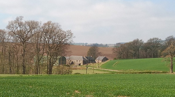
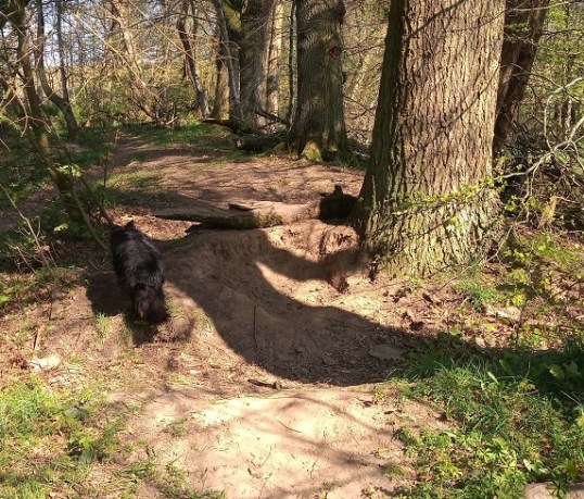
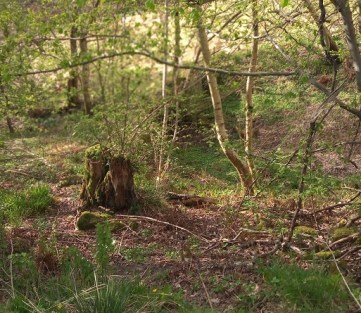
Backmill was what they called it, these prepubescent and young teenage schoolboys with more energy than sense. The little wood accessed by a rusting stock feeder converted to a bridge over the Garry Burn lies not far from the primary school. For me it was a place to find edible fungi in autumn and clouds of wood anemones in spring. For them, it was an open woodland opportunity for creating ever more ambitious bike jumps and mini skate parks, housing a roughly square, slightly sunken area they called the Curly, whose banks made a race track or skateboarding wall.
As summer progressed, he’d pop home to borrow a spade, loppers, a bow saw. I railed, and refused the axe.
“You’re not to saw down any trees!” They did, though to be fair the old curling pond was thick with self-sown sycamores of suitable diameter for log ramps and bridges. The tracks and jumps became quite elaborate. My son and his pals were probably following a long tradition in which they were the current top dogs, and learning about engineering and practical skills in the process. Health and safety, too, I suspect.
Twenty years on, I never see a child in the woods, but the evidence indicates that to some extent the tradition continues. The burn is forded by new stepping stones, the soil is bare over the bumps and jumps, and someone’s parent has welded new metal onto the old stock feeder to keep safe-ish access going. There was a village campaign to build a “proper” skate park a few years ago. I kept quiet, but suspected an improper one would remain more attractive.
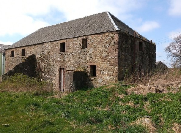
At the end of the wood and across the burn is a cluster of old buildings and a modern barn used to store straw bales. When you look closely, you can see where a water wheel once was attached to the wall of the biggest building, though nettles and rank vegetation choke the pit where it would have turned. This is the real Back Mill, after which the wood is locally miscalled. Once, it must have been a hugely important hub of activity for the village.
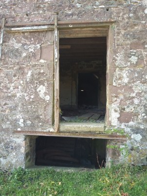
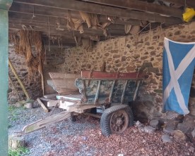
It’s a sizeable building, and across the road a second building of similar age was, I think, the granary. A door on the upper floor was probably where the grain was unloaded into wooden carts, perhaps like the one now parked in another outbuilding.
The lower floor is crumbling, but suits the swallows and martins for nesting, and has been used for housing the beasts in winter – the old wooden manger is intact.
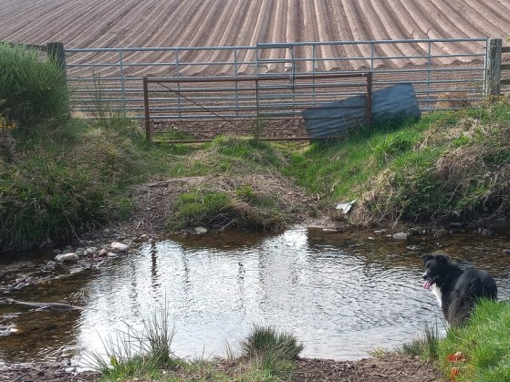
But where is the water? The Garry Burn is much lower than the mill wheel, and the track into the ford now only leads to a field. Behind the mill, a stretch of level grass looks like it leads round the side to meet the wheel. Go several hundred metres up the road from the ford, looking carefully through the tangled vegetation, and you can discern a straight, broad channel. You soon come to a stone dam, and the remains of the mill-pond. From here the water would have been diverted on milling days via the lade at a slight incline to the wheel, which would start to turn and grind under its power.
I’d love to find out more about Bankfoot’s Back Mill, and whether the wheel was an overshot or an undershot. It’ll have to wait now till the library re-opens, and I can delve again into the local history archives. Meanwhile, children of Bankfoot, keep building dens, jumps and bridges in the woods by the Curly!


 Decades later, I still “walk in vectors” – and remember Simon – in many situations. Getting across tracts of city is one such. Townscapes forbid, direct, coerce the pedestrian.